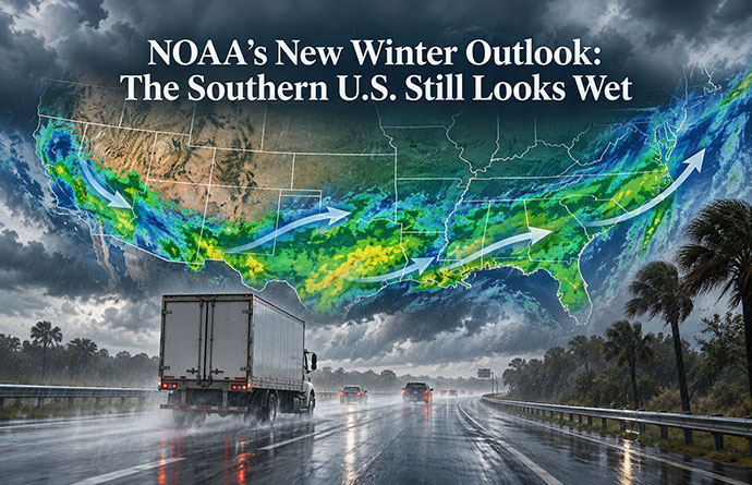
NOAA’s New Winter Outlook. The Southern U.S. Still Looks Wet
NOAA’s October 15 seasonal outlook now covers November, December, and January, moving the forecast firmly into winter.
The strongest precipitation signal is still remarkably consistent.
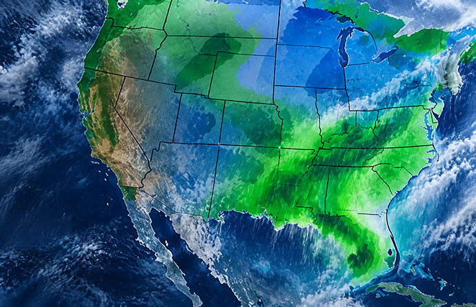
Above-normal precipitation is favored across much of:
- California
- the Southwest
- the central and southern Plains
- the Lower Mississippi Valley
- the Southeast
- the Eastern Seaboard
The highest probabilities are concentrated across the Southeast and Florida.
NOAA says probabilities of above-normal precipitation exceed 70% in some areas of the extreme Southeast and northern Florida through the January–March 2027 period.
That is a strong seasonal signal.
For movers, however, it is important to understand what it means.
It does not mean that rain will fall on 70% of days.
It means NOAA believes the total precipitation over the three months has a greater than 70% probability of falling within the wetter-than-normal category.
Individual moving days could still be completely dry.
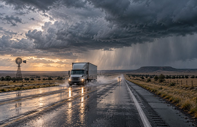
But the odds of encountering periods of heavy rain, wet highways, standing water, and storm-related disruption are higher than normal.
California’s Wet Signal Now Extends Farther Up the West Coast
California remains one of the areas receiving the most attention during this El Niño.
NOAA now favors above-normal winter precipitation across much of the state.
The expected Pacific jet stream is forecast to shift farther south and east, increasing the chances of Pacific storms reaching California and other parts of the West Coast.
The October forecast goes slightly further than the September outlook.
NOAA now says increased chances of above-normal precipitation extend across much of the West Coast and as far north as the Oregon coast.
The probabilities are not as high as those in the Southeast, partly because model forecasts still show a wider range of possible outcomes in the West.
Nevertheless, people moving to or from California this winter should be prepared for wetter conditions.
That could mean:
- heavy rain during loading and unloading
- localized flooding
- slower highway travel
- landslide or mudslide risk in vulnerable areas
- snow rather than rain at higher elevations
- difficult conditions across mountain passes
A wet seasonal outlook does not tell us exactly how much snow will fall in the Sierra Nevada or other mountain regions.
It does mean that anyone planning a long-distance move through the West should watch elevation as carefully as location.
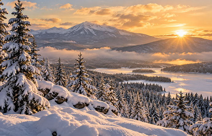
Rain near the coast can become heavy snow farther inland and higher up.
The Southeast Has One of the Clearest El Niño Signals
The Southeast continues to stand out in NOAA’s forecast.
Above-normal precipitation during El Niño winters is one of the more consistent relationships seen in the United States, and NOAA says the current models are strongly supporting that pattern again this winter.
Florida, Georgia, Alabama, the Carolinas, and surrounding states therefore look increasingly likely to experience a wetter-than-normal season.
That matters to movers because winter in the Southeast often appears relatively straightforward compared with moving in northern states.
Snow and prolonged freezing conditions are less common.
Heavy rain creates a different set of problems.
Furniture and cardboard boxes can become soaked surprisingly quickly during loading.
Standing water can slow trucks.
Visibility can deteriorate during intense rainfall.
And roads that normally present few winter problems can become difficult during major storm systems.
If you are moving through the Southeast this winter, waterproof protection may prove just as important as traditional cold-weather preparation.
Plastic storage bins, mattress bags, and furniture covers are inexpensive compared with replacing belongings damaged during a wet move.
Texas and the Southern Plains Could Also Become Wetter
The wetter-than-normal area stretches west through the Lower Mississippi Valley and into the central and southern Plains.
That includes parts of Texas, Oklahoma, and neighboring states.
This is particularly interesting because some of these areas experienced unusually dry conditions during late summer and early fall.
As El Niño becomes more influential, NOAA expects the average storm track to favor more precipitation across much of the southern half of the United States.
For someone moving through Texas or the southern Plains, the winter pattern could therefore look very different from the weather experienced earlier in the year.
The risks are not necessarily dramatic winter storms.
Heavy rain, thunderstorms, flooding, and rapidly changing road conditions can be just as disruptive to a moving schedule.
The East Coast Could Have a Wetter Winter Too
The El Niño wet signal does not stop in the Southeast.
NOAA now favors above-normal precipitation along much of the Eastern Seaboard during November through January.
That potentially puts cities such as Washington, D.C., Baltimore, Philadelphia, and areas farther north into a wetter seasonal pattern.
The difficult question is what form that precipitation will take.
Seasonal forecasts cannot tell us whether a certain January storm will produce rain, snow, freezing rain, or sleet.
Temperature at the time the storm arrives determines that.
This creates an important distinction for movers.
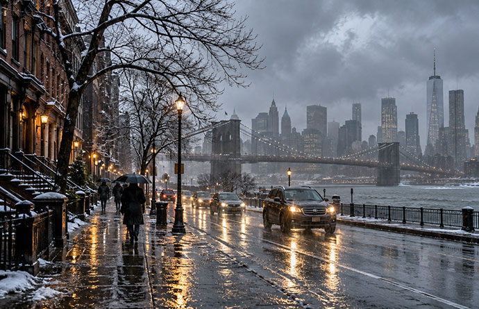
A wetter winter along the East Coast does not automatically mean a snowier winter.
Some storms may produce rain.
Others could produce snow.
Others may bring several precipitation types within the same system.
The useful information months in advance is simply that precipitation could play a larger-than-normal role.
Once your moving date is within about a week, local National Weather Service forecasts become far more important than the seasonal outlook.
A Warmer Northern U.S. Does Not Mean No Snow
NOAA favors above-normal seasonal temperatures across much of the northern tier of the United States.
The strongest warm signals include areas around the Upper Mississippi Valley and Great Lakes.
Above-normal temperatures are also favored across much of the western United States, the Ohio Valley, the Mid-Atlantic, and South Florida.
Much of the Southeast, meanwhile, currently leans closer to near-normal temperatures.
This sounds like good news for anyone moving in northern cities.
It may be, but there is an important catch.
Seasonal temperature outlooks describe averages over three months.
A warmer-than-normal winter can still contain severe cold spells, major snowstorms, and periods of dangerous ice.
For movers, that means normal winter precautions remain necessary.
Do not assume a seasonal map showing above-normal temperatures guarantees easy driving conditions on moving day.
Some Areas Could Actually Be Drier
El Niño does not make the entire country wetter.
NOAA currently favors below-normal precipitation across parts of:
- the Northern Rockies
- the northern High Plains
- the Great Lakes region
- interior Alaska
As winter progresses, the drier areas around the Northern Rockies and Great Lakes remain in the forecast and gradually shift somewhat northward.
That illustrates why national headlines such as “El Niño Means a Wet Winter” can be misleading.
The effects vary substantially by region.
One moving truck could begin its journey in unusually wet weather in the Southeast, cross relatively quiet conditions farther north and then encounter snow in the Rockies.
For long-distance moves, checking conditions along the entire route becomes particularly important.
The Drought Forecast Has Changed Too
NOAA also released its new Seasonal Drought Outlook on October 15.
And this is perhaps one of the most noticeable developments since September.
The strong El Niño and wetter winter forecast now support drought improvement or removal across large parts of the southern and eastern United States.
Improvement is expected across portions of:
- California
- the Southwest
- the Southern Great Plains
- the Lower Mississippi Valley
- the Southeast
- the East Coast
NOAA has particularly high confidence that drought will end across much of the Southeast because recent rainfall is being followed by such a strong wetter-than-normal winter signal.
California is also expected to see improvement or removal of drought as the normal wet season begins.
That does not mean every long-term drought impact immediately disappears.
Groundwater, reservoirs, vegetation, and soil moisture can take considerably longer to recover than a seasonal rainfall deficit.
In parts of the Southwest, NOAA specifically warns that some longer-term impacts may remain even if conditions improve.
Drought Could Get Worse in the Northern Interior West
The opposite pattern is expected in portions of the Northern Intermountain West and northern Rockies.
NOAA favors drought development or worsening there because the winter outlook leans drier while temperatures are expected to remain above normal.
Little major change is currently expected across portions of the Northern Great Plains and Upper Mississippi Valley.
The drought outlook therefore follows the same broad El Niño pattern visible in the precipitation forecast:
Wetter across much of the southern United States and comparatively drier farther north and inland.
Is This Beginning to Look Like 1997–98?
Whenever El Niño approaches historic strength, comparisons with 1982–83, 1997–98 and 2015–16 become inevitable.
But those comparisons should still be treated cautiously.
NOAA is studying historically strong El Niño events when producing this winter’s outlook.
There are similarities.
There are also differences.
One of the biggest questions earlier this year involved the Pacific Decadal Oscillation, or PDO.
The previous three exceptionally strong El Niño events occurred while the PDO was positive.
The PDO has been negative during the development of the 2026 event.
That raised the possibility that it might reduce or alter some traditional El Niño impacts.
NOAA’s October outlook now suggests that because the current El Niño is becoming so strong, the negative PDO may ultimately have only a limited influence on this winter’s overall pattern.
Even so, history is a guide rather than a script.
A historic-strength El Niño does not mean the winter of 2026–27 will reproduce the floods, storms, or snowfall patterns of previous events.
What Has Actually Changed Since September?
For anyone who read our previous El Niño update, the answer can be summarized fairly simply.
The basic pattern has not reversed.
It has become more confident.
In September, NOAA was already favoring a wetter southern United States and warmer conditions across much of the north.
Now:
- El Niño has strengthened further.
- The probability of historic strength has risen from 75% to 83% for October–December.
- NOAA’s seasonal forecast has moved deeper into winter.
- The Southeast wet signal has become particularly strong.
- Wetter conditions are now favored across much of the West Coast as far north as Oregon.
- Drought relief is expected across large areas of the southern and eastern United States.
For winter movers, that means the broad risks are becoming easier to identify.
What This Means If You Are Moving This Winter
There is still no reason to postpone a move simply because El Niño is exceptionally strong.
There is good reason to allow more flexibility.
If you are moving during the winter of 2026–27:
Watch the entire route.
A long-distance move can cross several completely different weather patterns.
Allow extra time.
Avoid arranging schedules in which even a few hours of bad weather create major problems.
Protect belongings from water.
This could be particularly important across California, the Southwest, southern Plains, Southeast and East Coast.
Treat mountain routes separately.
A forecast for rain at lower elevations can mean snow or dangerous conditions at higher elevations.
Ask your mover about weather delays.
Find out what happens if a truck is delayed by a storm and whether delivery dates are guaranteed or estimated.
Keep essentials with you.
Documents, medications, chargers, clothing, and toiletries should not disappear inside a moving truck that could be delayed.
Switch from seasonal forecasts to local forecasts as moving day approaches.
Seasonal outlooks are excellent for understanding risk months in advance. They are not intended to predict the weather on a particular Tuesday.
Seasonal Probabilities Are Not Moving-Day Forecasts
This is especially important when an El Niño receives widespread media attention.
An 83% probability of historic El Niño strength does not mean there is an 83% probability your move will be disrupted.
Likewise, a 70% probability of above-normal precipitation does not mean it will rain during 70% of the season.
NOAA’s seasonal maps compare total temperature or precipitation over several months with historical averages.
They tell us where the odds have shifted.
They do not tell us whether it will rain at 9 a.m. on your moving day.
The closer your move gets, the more important local short- and medium-range forecasts become.
So, Are We Heading for a Historic El Niño Winter?
Potentially.
The atmospheric and oceanic signals have strengthened considerably, and NOAA now believes there is an 83% chance that the event reaches historic strength during October through December.
That is substantially higher than the 75% probability NOAA gave in September.
The winter weather pattern is also beginning to resemble what forecasters would normally expect from a very strong El Niño: a more active southern storm track, wetter conditions across much of the South and East, and generally warmer conditions across parts of the northern United States.
But “historic El Niño” should not be translated into “historic winter everywhere.”
The final impact will depend on exactly where individual storms travel, how temperatures behave when those storms arrive, and how other atmospheric patterns interact with El Niño.
For people moving home, those risks are becoming increasingly defined.
A wet southern and eastern winter, possible heavy precipitation along the West Coast, and continued winter-weather hazards farther north all make flexibility particularly valuable for anyone planning a move over the next several months.
And with El Niño still strengthening, this winter may yet have a few surprises left.
Also Read








Share your thoughts by leaving a comment