NOAA Says El Niño Could Reach Historic Strength
El Niño is already well established.
NOAA reported on September 17 that the latest weekly Niño-3.4 sea-surface temperature anomaly had reached +2.0°C, while parts of the eastern equatorial Pacific were running more than 3°C above normal.
Those measurements indicate that the event has continued strengthening into September.
NOAA expects that strengthening to continue through the end of 2026.
For the October–December period, the Climate Prediction Center now estimates a 75% chance that El Niño reaches what NOAA classifies as historic strength, defined in this forecast as a three-month Relative Oceanic Niño Index, or RONI, of at least +2.5°C and exceeding previous El Niño events in the record dating back to 1950.
The probability of El Niño itself is essentially certain through much of the winter.
NOAA’s September outlook assigns a 100% probability of El Niño for the overlapping seasons from August–October through January–March, before probabilities begin falling during spring 2027.
That does not mean every classic El Niño effect will occur.
NOAA repeatedly stresses that even with an event this strong, expected impacts become more likely, not guaranteed.
What NOAA’s September 17 Outlook Says About Fall 2026
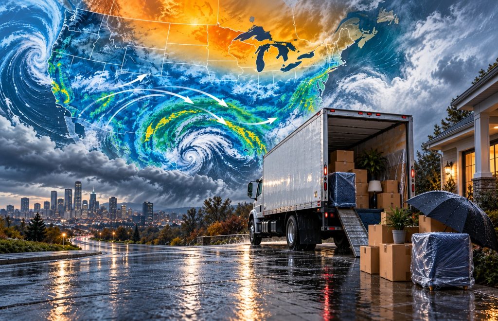
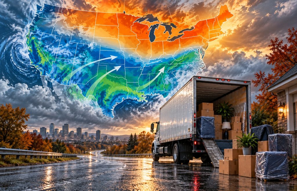
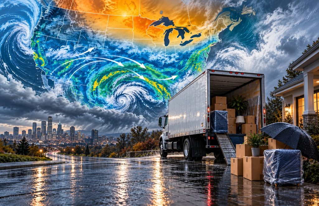
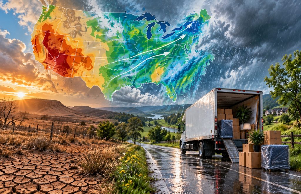
For October through December, NOAA favors above-normal precipitation across a broad swath of the country, beginning in Southern California and extending east through much of the Four Corners region, Great Plains, Mississippi and Tennessee valleys, Southeast and Mid-Atlantic.
The strongest wet signal appears along parts of the eastern Gulf Coast and Southeast coast, where NOAA places the probability of above-normal precipitation at more than 60%.
Meanwhile, below-normal precipitation is modestly favored in parts of the interior Northwest and around portions of the Great Lakes.
Temperature patterns look different.
NOAA favors above-normal temperatures across much of the West, northern states, and East during October–December.
Some of the strongest probabilities, above 50%, appear across Southeast Alaska, the northern Great Basin and around North Dakota and northwestern Minnesota.
For movers, that means winter weather risk cannot simply be summarized as “colder” or “warmer.”
The more important story may be where the storm track and precipitation shift.
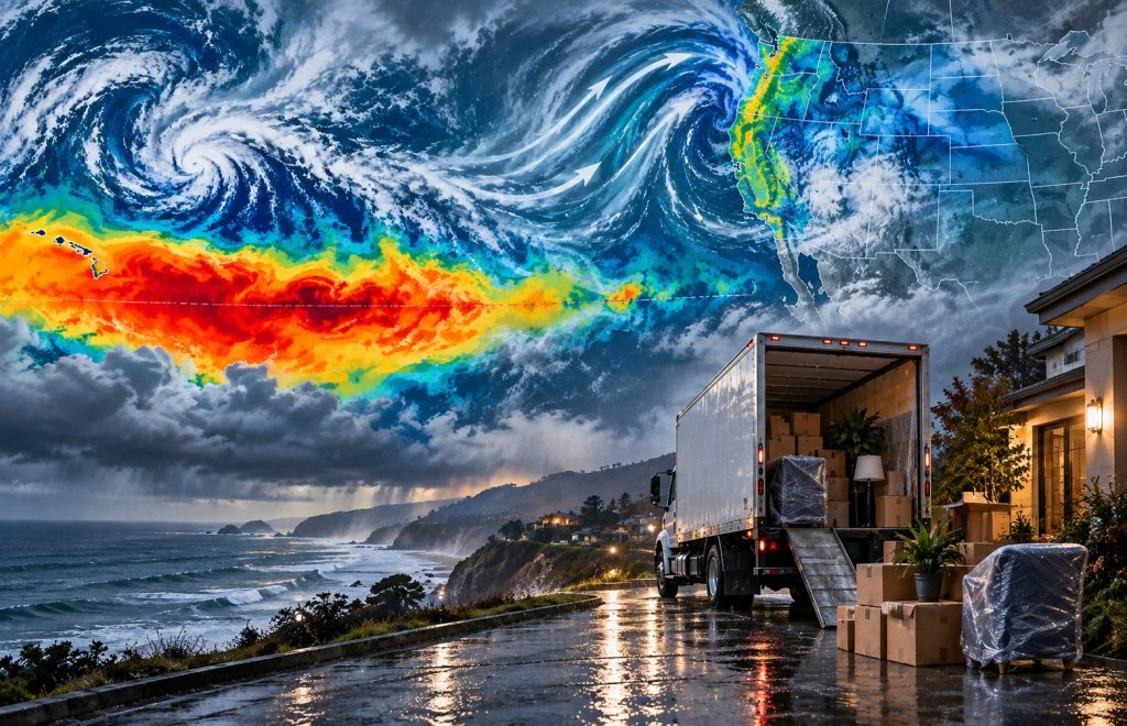
California Could Turn Much Wetter Later in the Winter
California is one of the states people watch most closely during a strong El Niño.
NOAA’s October–December outlook already tilts toward above-normal precipitation across roughly the southern half of the state.
But the signal becomes stronger deeper into winter.
From December–February through February–April, NOAA puts the probability of wetter-than-normal conditions at roughly 50–60% near parts of the California coast.
Forecasters even note that these probabilities could be increased in the October outlook if newer models continue supporting the pattern.
That does not mean California is guaranteed a repeat of the flooding associated with past major El Niño winters.
For someone moving to or from California, however, it does increase the value of flexibility.
Heavy rain can slow loading and unloading, affect mountain highways, cause localized flooding, and create delays on routes that normally present few problems in dry weather.
Anyone moving through the Sierra Nevada or other higher elevations should also remember that NOAA’s precipitation forecast covers rain and snow together.
A wetter seasonal forecast is not the same thing as a forecast for a specific amount of snowfall.
When it comes to protecting furniture moving in wet weather, plastic wrap can be invaluable. Discover all you need to know about using plastic wrap.
The Southwest and Southern Plains Lean Wetter
The wet signal also extends through the Four Corners and into the central and southern Plains.
By late fall and winter, NOAA expects the subtropical jet stream and average storm track associated with El Niño to support wetter conditions across much of the southern and central United States.
In the southern Plains, probabilities of above-normal precipitation eventually reach around 40–50% in parts of the region.
This comes after an exceptionally dry late summer in places such as Texas and Oklahoma.
NOAA reported on September 17 that Dallas had recorded no measurable rain from July 15 through September 15, despite normally receiving more than 4.5 inches during that period.
Oklahoma City received only 0.29 inches after July 18 compared with a normal total of roughly seven inches.
The drought outlook suggests conditions in the southern Plains and Lower Mississippi Valley may get worse before they improve.
Hot and dry weather could continue into late September before the anticipated El Niño-related increase in precipitation begins later in the fall.
For people moving through Texas, Oklahoma and nearby states, that means the weather pattern could change considerably between early fall and winter.
The Gulf Coast and Southeast Have One of the Strongest Wet Signals
One of the clearest signals in NOAA’s new forecast is across the Gulf Coast and Southeast.
As winter progresses, the probability of above-normal precipitation rises sharply across the region.
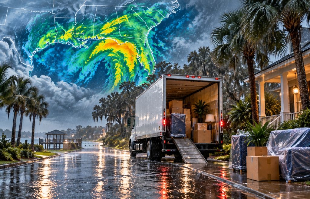
NOAA’s December-through-April outlooks show probabilities reaching as high as 70–80% around southern Georgia and northern Florida.
That is a substantial seasonal signal.
People planning winter moves in Florida, Georgia, Alabama, the Carolinas and other parts of the Southeast should prepare more for rain and wet-road disruption than assume winter will simply mean mild moving weather.
Wet conditions can complicate moving in less dramatic ways too.
Cardboard boxes can weaken quickly in heavy rain, furniture can absorb moisture during loading and unloading, and moving trucks may need more time on roads affected by standing water or poor visibility.
A few inexpensive precautions such as plastic storage bins for valuables, mattress bags, furniture covers, and a backup plan for loading during heavy rain can make a major difference.
Discover why plastic totes are better than traditional packing boxes when moving in wet weather in How to Use Plastic Boxes When Moving.
What About the Midwest and Great Lakes?
The Midwest sits near the transition between some of the wetter southern signals and the comparatively drier northern pattern.
NOAA modestly favors below-normal precipitation around parts of the Great Lakes during fall and winter. At the same time, much of the northern and central United States is expected to lean warmer than normal on a seasonal basis.
That should not be interpreted as “no snow.”
Seasonal temperature forecasts describe the average over three months. NOAA specifically notes that cold-air outbreaks can still occur even in regions where the overall season is expected to finish warmer than normal.
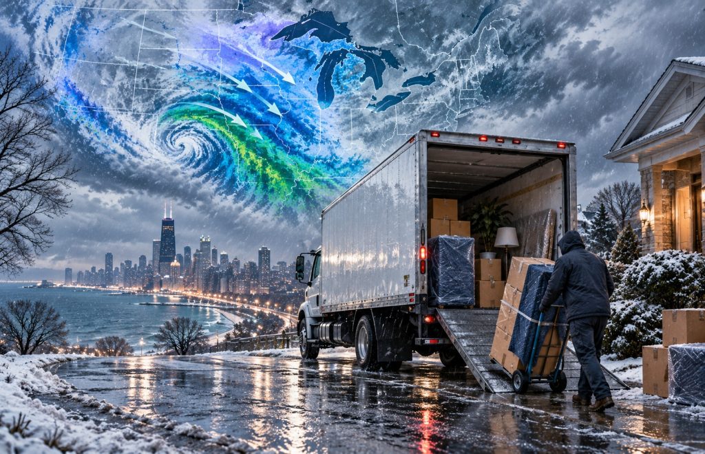
A move from Chicago, Detroit, Minneapolis, or another northern city therefore still requires normal winter preparation.
Check the short-range forecast as moving day approaches, allow extra driving time, keep ice melt and a shovel available, and avoid assuming a warmer seasonal outlook means individual winter storms will be weaker.
Any winter move comes with its own challenges, so in Tips For Winter Moves, we explain how to protect your items and how to make your winter move as safe as possible.
The Mid-Atlantic and East Coast Could Also Be Wetter
The wet El Niño signal does not stop at the Southeast.
For October–December, NOAA extends the area favoring above-normal precipitation through the Mid-Atlantic. Deeper into winter, the broader wet signal associated with the storm track extends northward along the Atlantic Coast and can reach into New England.
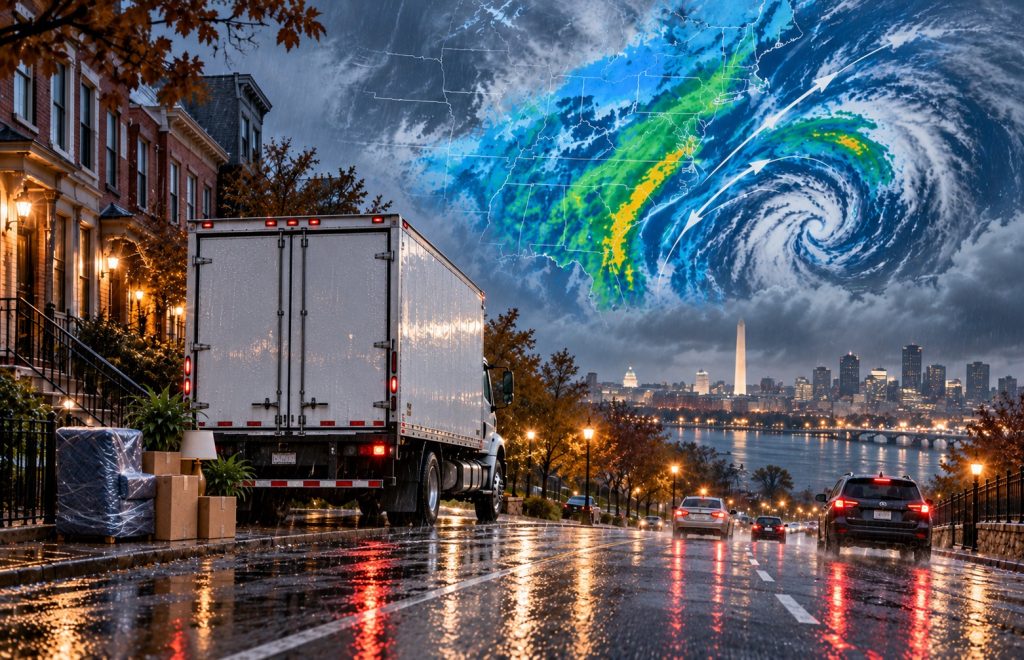
Cities such as Washington, D.C., Baltimore, Philadelphia, and parts of the New York region could therefore experience a winter in which precipitation becomes an important moving consideration.
The form that precipitation takes will depend heavily on the temperature at the time each storm arrives. Seasonal outlooks cannot tell us months in advance whether a particular system will bring rain, snow, sleet or a mixture.
For a move scheduled several months from now, use NOAA’s seasonal forecast for general planning, then switch to local seven- to ten-day forecasts when the moving date gets close.
The Pacific Northwest Is a Different Story
The Pacific Northwest does not share the same strong wet signal as California and the southern United States.
NOAA modestly favors below-normal precipitation across parts of the interior Northwest during fall and winter. Drought is also expected to persist or expand in some areas from the northern Great Plains and central Rockies westward into the Great Basin and parts of the Northwest.
That pattern matters because El Niño does not affect every part of the country in the same direction.
A winter that becomes considerably wetter in California, Florida or Georgia can simultaneously remain relatively dry in parts of Idaho, Montana or the inland Northwest.
Why This El Niño May Not Behave Like 1982, 1997 or 2015
The strength forecast naturally invites comparisons with the major El Niño events of 1982–83, 1997–98 and 2015–16.
NOAA is considering those three events when building its 2026–27 forecast, but forecasters have identified an important difference.
All three of those powerful El Niños occurred while the Pacific Decadal Oscillation, or PDO, was in its positive phase.
In August 2026, the PDO index was -1.11, putting it firmly in negative territory.
NOAA says that a negative PDO could dampen some of the weather effects normally associated with a very strong El Niño in certain parts of the country.
Sea-surface temperatures around the Gulf of Alaska are also arranged differently from what forecasters typically see during a strong El Niño.
That makes simple comparisons with 1997 or 2015 risky.
The 2026–27 event could become one of the strongest El Niños in the modern record without producing an exact replay of any previous winter.
Is rain on moving day a sign of good luck or just unlucky moving day weather? Here we offer packing tips and general safety advice for moving in the rain.
Could El Niño Mean More Snow?
Possibly in some locations, but an El Niño forecast should not be treated as a snowfall forecast.
NOAA’s seasonal precipitation maps tell us whether the total amount of precipitation is more likely to finish above or below normal. They do not specify how much will fall as snow.
Temperature, storm tracks and individual weather systems determine whether precipitation reaches the ground as rain, freezing rain, sleet or snow.
That distinction is especially important for anyone planning a winter move.
A wetter outlook for California could mean heavy rain near the coast and additional snow at higher elevations. Along parts of the East Coast, a wet pattern might produce rain during one storm and snow during another.
Exact snowfall potential becomes much clearer only when individual storms enter the medium- and short-range forecast window.
Moving home in the snow is no fun; the tips in this guide will make it easier and safer.
What El Niño Means If You Are Moving This Fall or Winter
There is no reason to postpone a move simply because a strong El Niño is developing.
There is a reason to build more weather flexibility into the plan.
If you are moving during fall or winter 2026–27:
- Avoid extremely tight arrival schedules. Give yourself extra time if your route crosses several states.
- Check conditions along the entire route, not just at your origin and destination.
- Protect furniture and boxes from water. The strongest wet signals currently cover some major population centers in California, Texas, the Southeast, and the East.
- Ask your moving company about weather delays before moving day and understand how rescheduling works.
- Watch mountain passes separately. Rain at lower elevations can mean snow and difficult driving higher up.
- Keep essential items with you. Medications, chargers, documents, a change of clothes, and basic toiletries should not be buried inside the moving truck.
- Recheck the forecast shortly before departure. Seasonal forecasts are useful for planning, but local forecasts are much more important once moving day is within a week.
For long-distance moves, flexibility becomes particularly valuable because the truck may pass through several completely different weather patterns.
It would be prudent to find out about insurance coverage should your move be cancelled or delayed. Our guide to the different types of moving insurance is a good starting point.
Drought Could Improve Across Large Parts of the Country
The September 17 drought outlook adds another piece to NOAA’s winter picture.
Through the end of 2026, NOAA expects drought to improve across a considerably larger area than the area expected to experience persistence or deterioration.
Across much of the southern United States, central Plains and Mid-Atlantic, that improvement is partly tied to the anticipated increase in late-fall precipitation associated with El Niño.
Drought is more likely to persist or intensify across parts of the northern Plains, central Rockies, Great Basin and inland Northwest. NOAA specifically identifies areas around western Montana, central Idaho, and near the Washington–Oregon border as places where drought could expand.
Puerto Rico and the U.S. Virgin Islands are another exception, with drought expected to persist or worsen as Atlantic tropical activity remains unusually low.
This Is a Seasonal Outlook, Not a Moving-Day Forecast
There is one limitation worth keeping in mind whenever long-range forecasts start making headlines.
A statement such as “70% chance of above-normal precipitation” does not mean it will rain on 70% of days.
It means forecasters believe the total precipitation over the three months has a 70% probability of falling into the wetter-than-normal category used by NOAA.
Likewise, a warmer-than-normal winter can still contain severe cold snaps and snowstorms.
The closer your moving date gets, the less you should rely on the seasonal outlook and the more attention you should pay to National Weather Service forecasts for the cities and highways involved in your move.
When Will NOAA Update the El Niño Forecast Again?
The next major NOAA ENSO Diagnostic Discussion is scheduled for October 8, 2026. That update should give us a clearer picture of whether El Niño is continuing toward the historic strength currently forecast.
NOAA’s next full set of U.S. seasonal temperature and precipitation outlooks will follow on October 15, 2026. The next Seasonal Drought Outlook is also scheduled for October 15.
Those updates will be particularly important because they will move the forecast deeper into the core winter months.
For now, NOAA’s September outlook sends a clear signal: El Niño is strengthening rapidly, and its influence on U.S. weather is expected to become much more noticeable as fall turns into winter.
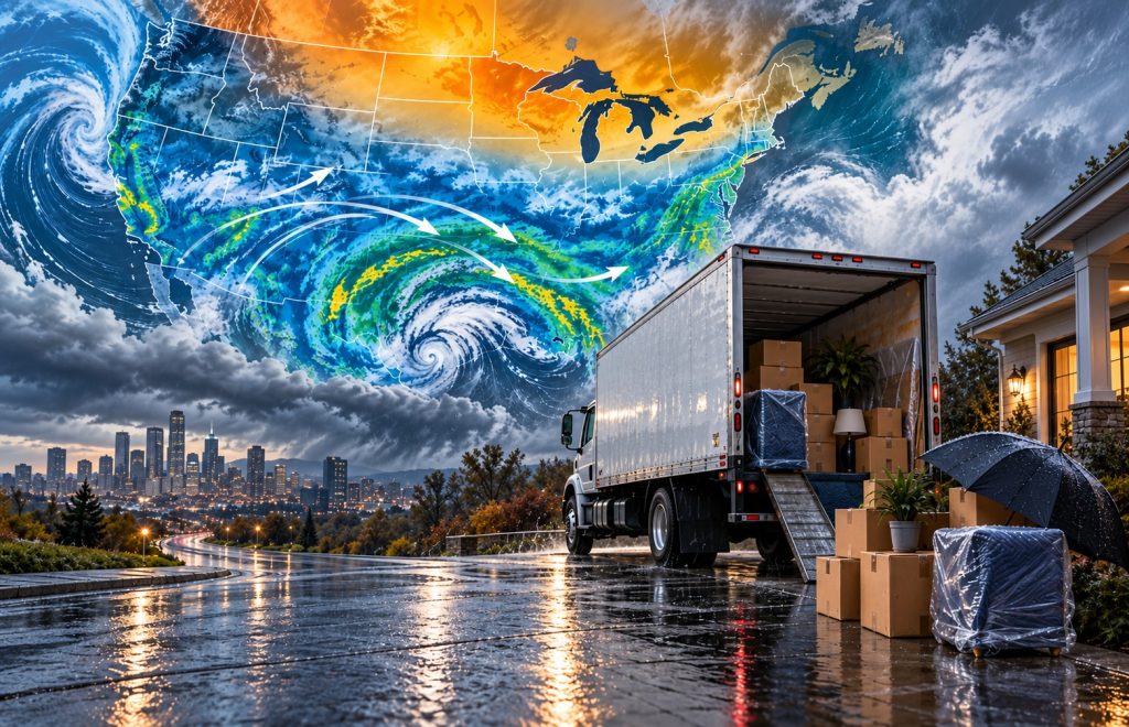
For Americans planning a move, the biggest areas to watch are the increasingly wet southern storm track, including California, the southern Plains, Gulf Coast and Southeast, and the possibility of weather-related delays wherever long-distance routes cross mountain or winter-weather regions.
The season may be warmer than normal across large parts of the country, but that does not make it a quiet winter.
Also Read








Share your thoughts by leaving a comment